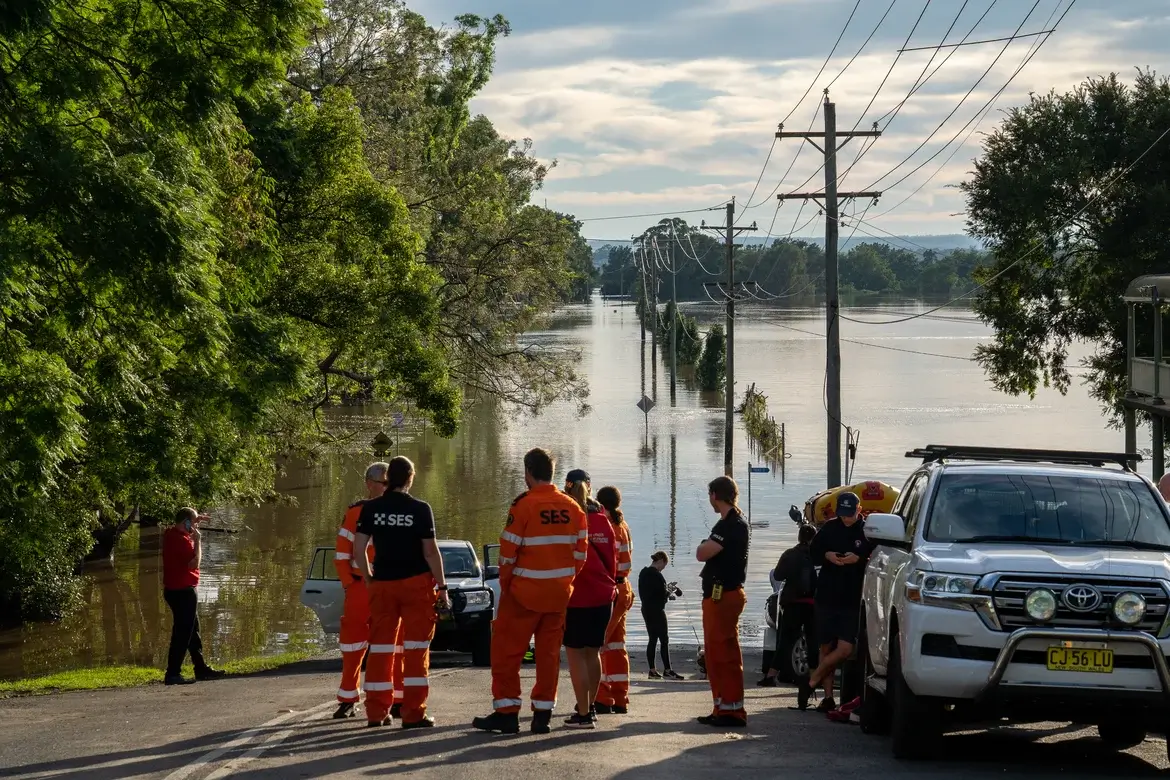
With hurricane season running from June 1 to November 30 in the U.S., emergency responders must be ready to effectively react to cyclones of all intensities.
This year, the National Oceanic and Atmospheric Administration (NOAA) expects an above-normal season, predicting four to seven major storms before the holidays. The NOAA’s forecasts provide crucial insights for first and second responders across the eastern seaboard, underscoring the importance of accurate weather forecasts.
To further improve their predictions, the NOAA is using new forecast models, including MOM6 oceanic modeling, updated flood mapping and experimental rainfall graphics developed with the National Hurricane Center (NHC).
Having storm insights on hand helps emergency responders better anticipate recovery efforts. Meanwhile, equipping their teams with asset intelligence technology helps them better respond.
GPS Tracking’s Game-Changing Capabilities
The NOAA isn’t the only organization stepping up its game with advanced technology; emergency preparedness groups are also finding creative ways to gear up for hurricane season.
Command centers and humanitarian groups need clear visibility to efficiently deploy their teams and equipment to recovery sites. Some of the essential gear that emergency preparedness groups deploy includes:
- Portable generators
- Light towers
- Portable shelters
- Portable toilets
- Portable medical equipment
- Command centers
- COWS & miniCRDs
The problem is that many traditional trackers use cellular tracking even though recovery sites usually have poor cellular service. Unreliable service puts emergency response groups at risk of losing track of equipment that’s misplaced, damaged or stolen.
Satellite-powered GPS technology offers an alternative way to track assets, improving how emergency response groups utilize equipment and strategize efforts during hurricane season. GPS tracking innovations provide near real time insights that help users keep tabs on their gear, even amid the chaos of hurricanes and their aftermath. Satellite connectivity also keeps emergency responders in touch and informed.
Beyond GPS capabilities, interactive mapping makes it easier to swiftly send help and plan effective supply routes. Mapping also helps identify high-risk areas and efficiently coordinate large-scale rescue operations. Solutions with predictive analytics integrated into their hardware and software can also provide risk assessments for underutilized equipment, asset maintenance checks and geofencing-based alerts for managers — all of which better equip organizations to prepare and respond to hurricanes.
Get Emergency Response Support You Can Count On
Accurate and reliable communication is especially crucial during emergencies. That’s why Geoforce offers portable, satellite-powered devices that ensure your assets remain visible in the bleakest conditions, with or without cellular coverage.
Built to withstand harsh hurricane weather and outdoor use, Geoforce GPS tracking hardware is among the market’s most rugged. Emergency responders can count on Geoforce for reliable asset intelligence that supports them throughout hurricane season. Get a quote today.
Publisher: Source link


