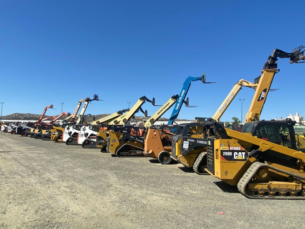
Non-powered gear drifts. A roll-off gets parked behind the shop, a tote lingers in a customer bay, a small trailer hops job sites without paperwork. Those small misses create real costs: wasted search time, lost equipment, and invoice disputes that slow down collections. The fix is not just “better tracking.” The fix is tracking more of what moves.
Why is cellular the affordable way to track non-powered gear today?
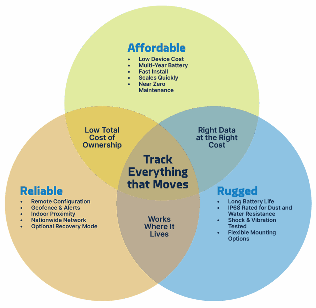
Modern cellular IoT networks, especially LTE-M, were built for battery-powered devices that check in on motion and on a light daily cadence. Coverage now matches where non-powered assets actually live: yards, public roads, and customer facilities. Devices can sleep efficiently between updates, which reduces field visits and extends life. That is what makes broad deployment practical.
Will this work in our yards and at customer sites?
Yes. Yard to road to customer site, even near buildings where “missing” often means “parked indoors.” Cellular gives dependable check-ins across those locations so you can find assets in seconds instead of sending someone to look.
What does upkeep look like week to week?
Simple. Day to day, devices run themselves—motion events plus a light scheduled check-in keep you visible without constant touch. Week to week, you’re reviewing a dashboard for battery health and exceptions, not swapping hardware. If something goes missing, you can temporarily increase updates, then return to the normal cadence once it’s found. No truck rolls just to “keep it alive.”
Can we tag everyday stuff, or just the expensive units?
Tag the everyday stuff. When service and device behavior are tuned for IoT, it becomes realistic to cover bins, totes, reels, and small trailers, not just a short list of high-value assets. Scale is what eliminates hunts, cuts losses, and clears up billing questions across the whole operation.
When do we choose cellular vs satellite?
Use cellular for on-grid environments: yards, public roads, and customer sites. You get frequent, dependable updates and a profile that scales across hundreds or thousands of assets.
Use satellite for the true edges of the map: remote lease roads, backcountry, offshore. Most teams run a hybrid, so nothing falls through the cracks.
What will my team notice on day one?
- Faster finds: motion events and light daily check-ins turn “Where is it?” into a quick search.
- Clear proof of service: geofenced in and out timestamps settle billing questions and speed collections.
- Better utilization: idle assets become visible across sites, so you redeploy instead of re-rent.
- Less maintenance overhead: battery-friendly behavior means fewer service
How do we try this without slowing down the crew?
- Start with high-churn assets like bins, reels, and small trailers that move weekly.
- Set a balanced cadence of motion events plus one or two scheduled pings per day.
- Geofence your yards and top customer sites to capture in and out automatically.
- Standardize a proof-of-service export your team can share with customers.
- Create a simple recovery playbook to temporarily increase updates if something goes missing.
- Expand in waves until “Where is it?” disappears from morning stand-ups.
Bottom line
Cellular GPS tracking is finally practical to scale. When you can tag everything that moves, search time shrinks, losses drop, and billing gets easier. Use cellular for the everyday footprint, keep satellite for the true remote jobs, and the blind spots go away.
Disclaimer: This story is auto-aggregated by a computer program and has not been created or edited by budgetbuddy.
Publisher: Source link
Publisher: Source link